Cycling and Walking
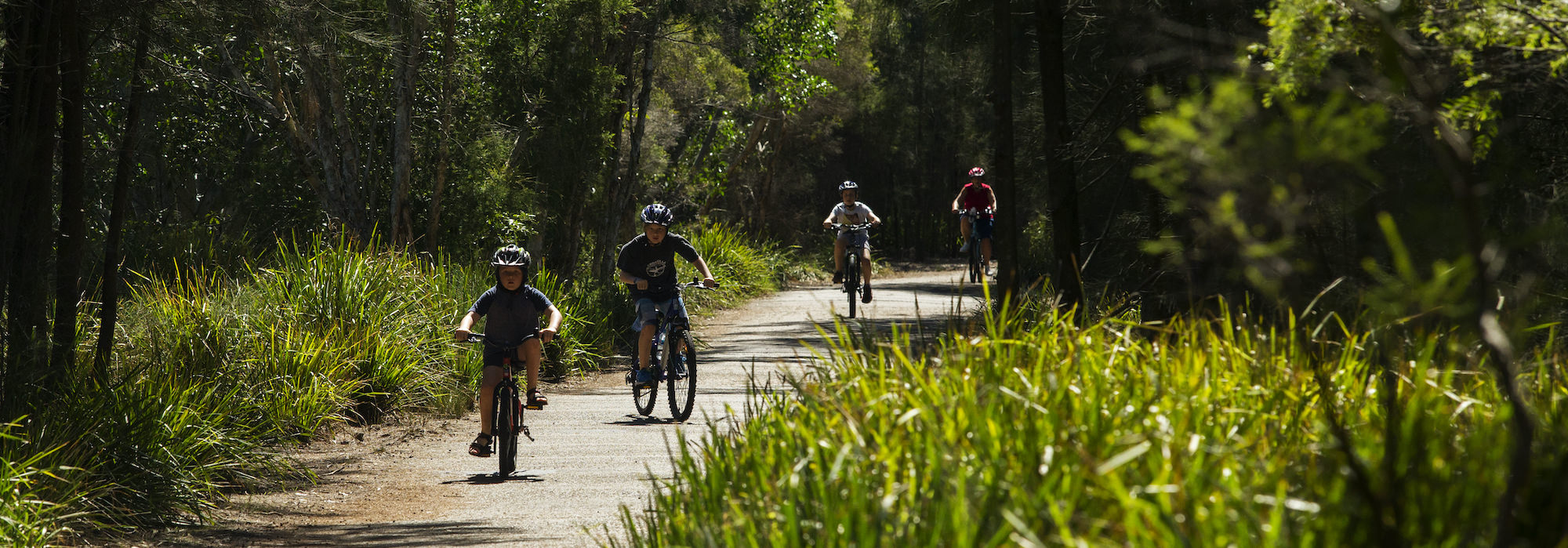
The Strathfield Local Government Area contains a historic regional cycle and walking route, the Bay to Bay path.
One of Sydney’s best cycle and walking tracks runs through the Strathfield Council area.
The Bay to Bay Shared Pathway is a 23 kilometre track running from Settlers Park in Ryde to Botany Bay. Much of the track runs alongside the historic Cooks River.
The time required to walk the Strathfield section is only 90 minutes and is a great walk for dogs (leashed).
The walkway/cycleway provides easy access to a variety of places in the Strathfield Council area, notably the Cooks River in the south and Mason Park Wetlands and Homebush Bay to the north. The map shows the Strathfield section of the Bay to Bay Cycle and Walkway. Maps of Bay-to-Bay Cyclepath are available from Council’s Customer Service Centre or can be downloaded below.
Most of the Strathfield Section, along the Cooks River, of the Cycle and Walkway is located off-road. A description of the route of the Strathfield section follows:
The Strathfield Council section commences at the intersection of Punchbowl Road and Coronation Parade. Following the path passing by Southend Tennis Centre, cross at the Maria Street Bridge before entering Ford Park
Cross at Water Street and continue walking along the north side of Cooks River. You will pass by Dean Reserve with recreation and park equipment for young adults as well as barbeques and seating.
Continue to walk to St Anne’s Reserve and enjoy the children’s playground. Leaving St Anne’s walk under the Hume Highway underpass (Moore’s Bridge) and continue through the Chain of Ponds Reserve.
Crossing the small bridge over the Cooks River at Augusta Street. At this point, you can observe the restoration work at Cooks River in the section adjoining Strathfield Golf Club.
Leaving the Cooks River keep walking through Freshwater Park turning into Melville Avenue. Walk or cycle along Newton Road, onto Centenary Drive. The path goes through Frank Zions Reserve and then onto Mitchell Road alongside Hudson Park.
Cross Arthur Street to Hampstead Road, then though Melville Reserve and Airey Park. Cross at The Crescent onto Bridge Road. Cross Parramatta Road and through Hillcrest Street. Cross the M4 pedestrian/cycle overpass which comes out onto Pomeroy Street, near Bill Boyce Reserve. Turn right into Pomeroy Street crossing at the traffic lights on Underwood Road. Rejoin the path on the south side of Powells Creek and face north. You will pass through the back of Mason Park, and Bressington Park then through the Homebush Bay Drive underpass into Bicentennial Park.
Bicycle racks are available at the following locations:
- Strathfield Council Customer Service Centre – 65 Homebush Road Strathfield
- Strathfield Main Library – 65-67 Rochester Street Homebush
- Strathfield Branch Library – 64 High Street Strathfield
- Strathfield Town Centre – Strathfield Square, Albert Road, Strathfield.
- Homebush Shopping Village – Burlington Road (near corner of Rochester Street) Homebush
- Freshwater Park – corner Wilson Street and Ada Avenue Strathfield (on the Bay to Bay Cycle and Walkway).
If using bicycle racks, lock your bike with a secure device and lock and chain.
Strathfield Council is committed to providing alternative transport methods throughout the local government area. For more information, please see the Active Travel Plan below.
You can also obtain cycleway maps from the Roads and Traffic Authority. Nearby Sydney Olympic Park has 35km of cycleways.
For further information on cycling visit Bicycling NSW and the NSW Bicycle Guidelines.

